Plate Tectonics
- Earth's layers (crust, mantle, core)not yet tested
- Continental drift & Wegener's hypothesisnot yet tested
- Earthquakes, epicentre & magnitudenot yet tested
- Rock families & the rock cyclenot yet tested
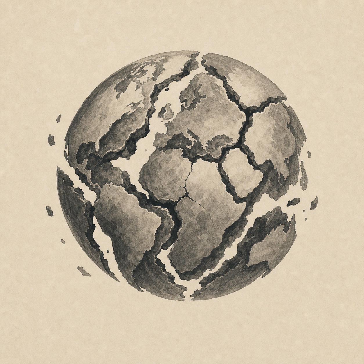
In 1912, the German meteorologist Alfred Wegener proposed that the continents had once been joined in a single supercontinent — Pangaea — and had since drifted apart. The evidence was suggestive (matching coastlines of South America and Africa, fossil reptiles on both sides of the Atlantic, identical rock sequences in Brazil and West Africa, glacial deposits in places now tropical), but the geological establishment rejected the proposal almost unanimously: Wegener was a meteorologist not a geologist, he could not propose a plausible mechanism for continents ploughing through solid ocean floor. He died on a Greenland expedition in 1930, his theory still in disrepute. Forty years later, in the 1960s, magnetic stripes parallel to mid-ocean ridges, alternating in polarity, recorded seafloor spreading — new ocean floor created at ridges and consumed at subduction zones at the trenches — and by 1968 plate tectonics was the consensus theory of geology.
Plate tectonics is the theory that Earth's lithosphere — the rigid outer ~100 km of the planet — is broken into about fifteen major plates moving at a few centimetres per year, driven by convection in the underlying mantle. Three kinds of plate boundary: divergent (plates pull apart and new oceanic crust is created, as at the Mid-Atlantic Ridge or the early-stage East African Rift), convergent (continental–continental builds mountains like the Himalayas, oceanic–continental produces subduction-zone arcs like the Andes, oceanic–oceanic produces trenches like the Mariana), and transform (plates slide past one another along faults like California's San Andreas). The mechanism that settled the case was paleomagnetism: as lava cools at mid-ocean ridges, iron-bearing minerals align with Earth's magnetic field, and the field reverses every 200,000–1,000,000 years on average, so Hess's 1962 seafloor-spreading hypothesis predicted symmetrical magnetic stripes parallel to the ridges, and Vine and Matthews (1963) and Morley (independently 1963) found them — the geological community accepted the theory in roughly five years, an unusually rapid paradigm shift.
The framework matters far beyond geology because plate tectonics drives the carbon thermostat that has kept Earth habitable: silicate weathering of continental rock pulls CO₂ from the atmosphere, the reaction is temperature-sensitive (warmer climate speeds it up), and volcanism returns CO₂. The failure modes are visible on Venus (runaway greenhouse) and Mars (lost atmosphere). Most earthquakes, tsunamis, and volcanism cluster at plate boundaries (the Pacific Ring of Fire, the Japan and Sumatra trenches, the Alpine-Himalayan belt), and biogeography makes sense only with continental drift — marsupials dominate Australia (which separated before placentals diversified), lemurs are uniquely Madagascan, fossil patterns line up across now-distant continents.